

Lake Effect Snow Warning: What It Means and How to Prepare
Understanding Lake Effect Snow
Lake effect snow occurs when cold air moves over a relatively warmer body of water, such as the Great Lakes. This temperature difference causes moisture to rise, forming clouds that produce heavy snowfall. The phenomenon is common in regions downwind of large lakes, such as the Great Lakes area in the U.S. and Canada.
Why a Lake Effect Snow Warning Matters
A Lake Effect Snow Warning is issued by the National Weather Service when heavy, persistent snowfall is expected in a localized area. These warnings indicate hazardous conditions, including:
- Heavy Snowfall: Accumulations of 6 inches or more in a short period.
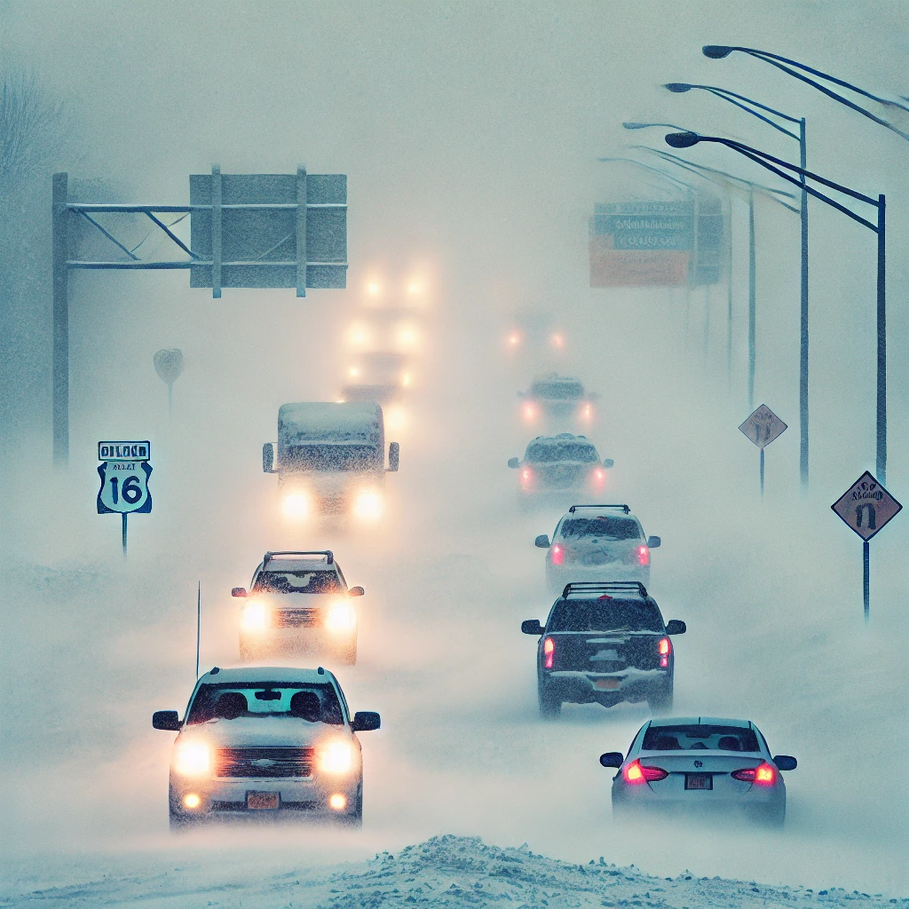
- Reduced Visibility: Blowing and drifting snow can make travel nearly impossible.
- Extreme Cold & Wind Chill: Dangerous conditions that increase the risk of frostbite and hypothermia.
How to Stay Safe During a Lake Effect Snow Event
1. Travel Precautions
- Avoid unnecessary travel; roads can become impassable quickly.
- If you must drive, carry emergency supplies, including blankets, food, and water.
- Keep your gas tank full in case you get stranded.
2. Prepare Your Home
- Stock up on food, water, and emergency supplies.
- Ensure heating systems are functional and have backup heating options.
- Prevent pipes from freezing by letting faucets drip slightly.
3. Stay Informed
- Monitor local weather reports and alerts.
- Sign up for emergency notifications.
- Have a battery-powered radio in case of power outages.
Conclusion
Lake effect snow can be beautiful but dangerous. Understanding how to prepare and respond to warnings can help keep you safe. If a Lake Effect Snow Warning is issued in your area, take it seriously and make necessary preparations.